
Length: 36.611 miles
West Endpoint:
Junction US 40, 6th and Iowa Street, Lawrence (1956-1996)
I-70/Kansas Turnpike Exit 197 northwest of Lawrence (1996-)
East Endpoint:
I-435 exit 1B (de facto)/I-35 exit 222 (de jure) in Lenexa (1984-)
Counties Passed through: Dickinson, Morris, Wabaunsee, Shawnee, Jefferson, Douglas, Johnson, Wyandotte
Full Description
History
Average Annual Daily Traffic
Junction Guide
Photos
Clicking on a photograph takes you to the photo's flickr page
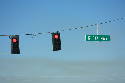
The new traffic signals for 6th Street (US 40) at K-10 are mounted on wire spans instead of metal poles. 5 April 2014
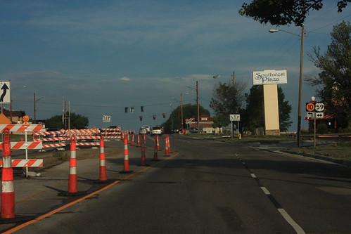
One of many summer features in Lawrence for 2014 is the reconstruction of the intersection of 23rd and Iowa. While there are two lanes on westbound 23rd (K-10, eastbound Clinton Parkway, as well as Iowa Street (US 59) are down to one lane. 14 June 2014
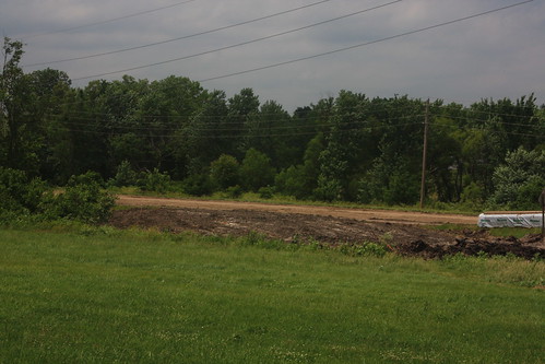
It's only been a couple of weeks since KDOT Closed 31st Street west of Louisiana, and already the pavement has been dug up. In addition, grading for the relocated 31st Street is underway. The relocated road is part of the South Lawrence Trafficway project. 14 June 2014
By far, the most controversial aspect of the South Lawrence Trafficway is the filling in of the Baker Wetlands. As shown here, that part of the project is now underway. This grading will be the relocated 31st Street. The existing 31st Street will be unfilled and control of its right-of-way returned to Haskell Indian Nations University. 14 June 2014
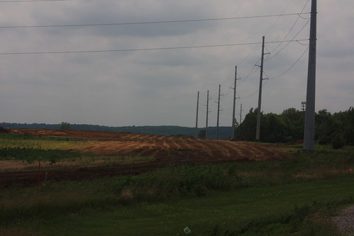
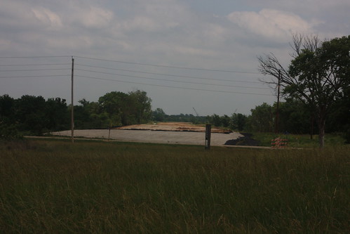
This is where the actual South Lawrence Trafficway will pass across the Baker Wetlands. The powerlines have been relocated, but the roadway itself hasn't been graded. 14 June 2014