Established January 13, 1941
Length: 10.2 miles
South Endpoint:
North Endpoint:
Counties Passed through: Woodson
Length: 10.2 miles
South Endpoint:
North City limits of Toronto (1941-1961)
Junction Toronto Dam road (1961-1965)
West end of Toronto Lake Dam (1965-1996)
Toronto Lake State Park enterance(1996-present)
Junction Toronto Dam road (1961-1965)
West end of Toronto Lake Dam (1965-1996)
Toronto Lake State Park enterance(1996-present)
North Endpoint:
Junction US 54 north of Toronto
Counties Passed through: Woodson
Photos
Clicking on a photograph takes you to the photo's flickr page
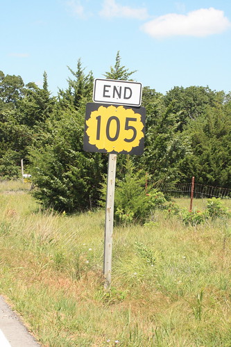
The south end of K-105 at the south end of Toronto Lake. Interestingly enough, when you reach this end sign, you are facing the northwest. 4 June 2012
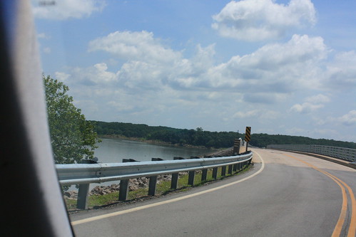
Near the south end, K-105 crosses the dam of Toronto Lake. 4 June 2012
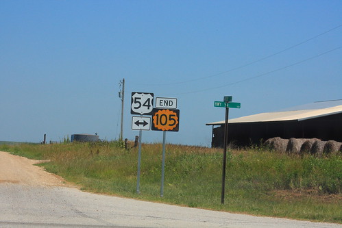
The North end of K-105 at US 54 north of Toronto 4 June 2012