Length: 95.738 miles
South Endpoint:
North Endpoint:
Counties Passed through: Sedgwick, Harvey, McPherson, Saline
Junction Guide
Photos
Clicking on a photograph takes you to the photo's flickr page
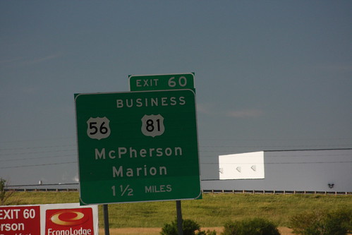
The advance guide sign for the US 56 exit on I-135 in McPherson features an off-balance placement of the highway shields. In order for the "BUSINESS" banner to fit cleanly above the US 81 shield, the US 56 shield got moved to the side. 20 July 2013
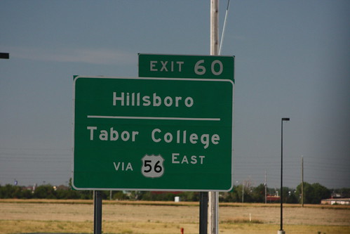
Another guide sign with a bordered highway shield. This one is a bordered US 56 shield on I-135 in McPherson. 20 July 2013
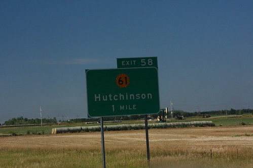
The southbound advance guide signs on I-135 for K-61 on the south end of McPherson feature the K-61 shield, but not one for US 81B, which has its south end at the K-61 interchange. 20 July 2013
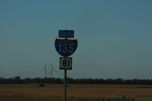
This reassurance marker on I-135/US 81 on the south end of McPherson features a ugly "straight out of Microsoft" typeface for the I-135 shield. 20 July 2013
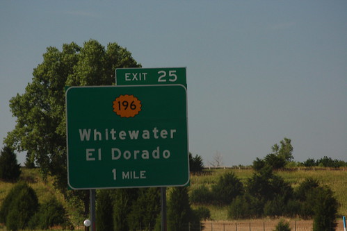
The advance guide sign for the K-196 exit on I-135 features a single border. 20 July 2013