
South Endpoint:
North Endpoint:
Counties Passed through: Sumner, Sedgwick, Butler, Chase, Lyon, Coffey, Osage, Franklin, Miami, Johnson, Wyandotte
History
Junction Guide
Photos
Clicking on a photograph takes you to the photo's flickr page
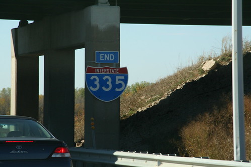
The southwest end of I-335 is on the Turnpike. The oversized "end" sign is bolted to the pillar of the I-35 ramp onto the Turnpike at Emporia. 20 October 2007
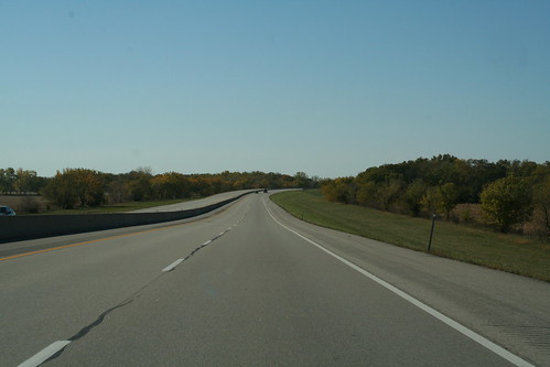
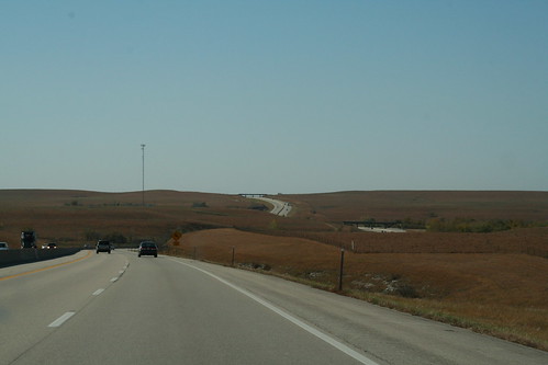
Here's a view of part of the I-35 segment of the Kansas Turnpike. 20 October 2007
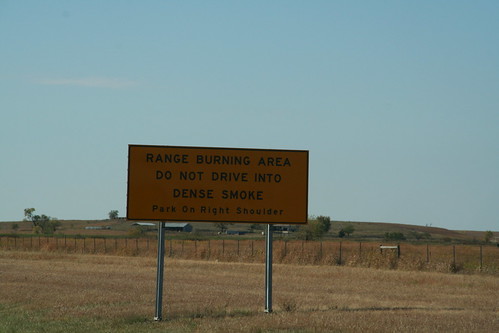
A warning sign is posted on the Kansas Turnpike through the Flint Hills warning of possible range burning. If you run into dense smoke, your best best is to pull to the shoulder. 20 October 2007
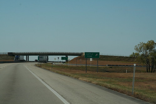
At milepost 111 on the Kansas Turnpike near Bazzar is a special exit for a set of Cattle Pens. 20 October 2007
Here's annother shots of the Turnpike/ I-35 twisting through the hills of Chase County. 20 October 2007