
South Endpoint:
North Endpoint:
Counties Passed through: Sumner, Sedgwick, Butler, Chase, Lyon, Coffey, Osage, Franklin, Miami, Johnson, Wyandotte
History
Junction Guide
Photos
Clicking on a photograph takes you to the photo's flickr page
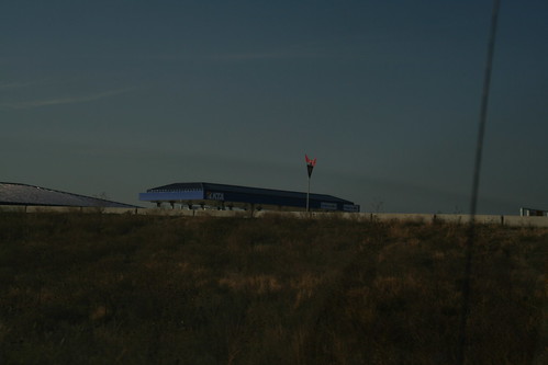
Here's a grab shot of the new Tollboths where I-35 enters the Kansas Turnpike at Emporia 10 November 2007
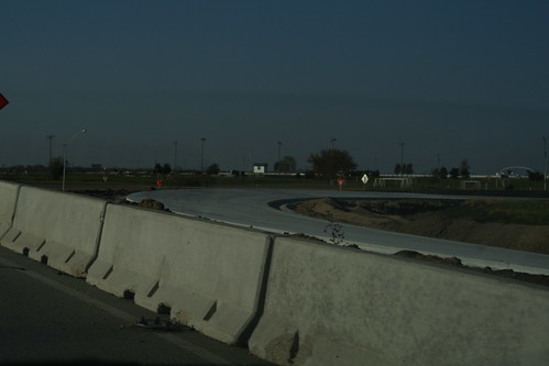
Her's a shot of the new ramp from I-35 South to I-335 North in Emporia. 10 November 2007
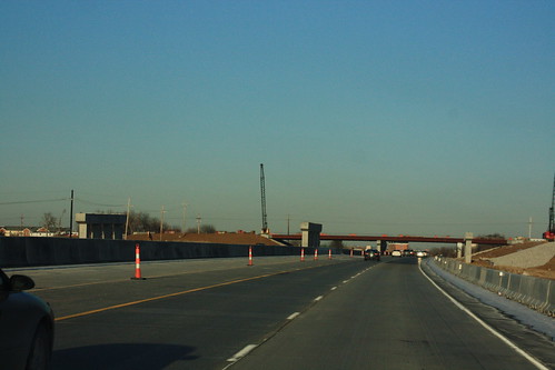
Here's a shot of the bridges for the new Lone Elm Road/I-35 interchange. 24 January 2009
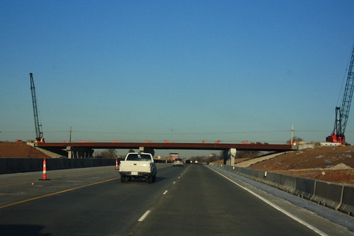
The beams are in place for the Lone Elm road bridge over I-35. 24 January 2009
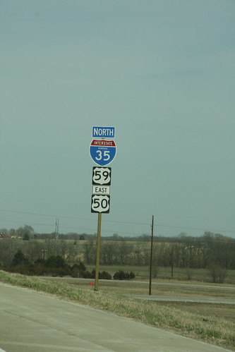
"New Old School?" Apparently, when the contractor installed this new assembly on I-35/US 50 where US 59 now joins, they used what the road enthusiast community refers to as the "1958 specs," which carry smaller digits on the I-35 shield.