
West Endpoint:
East Endpoint:
Counties Passed through: Cowley, Chautauqua
History
Photos
Clicking on a photograph takes you to the photo's flickr page
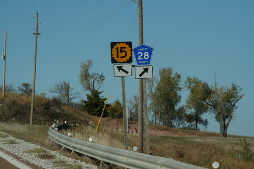
The west junction of K-15 with Cowley County Road 28 is a "crow's foot" junction. Cowley CR 28 was formerly K-38, and as such, the K-38 shields were replaced with county shields at this junction. 20 October 2006
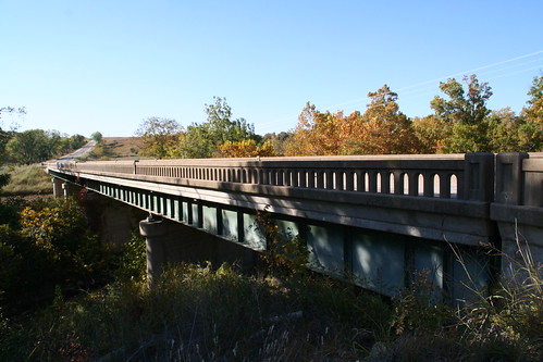
A simple girder bridge on the former K-38 in Cowley County, featureing the concrete "accordian rail" like many bridges along this route. 20 October 2006
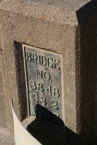
A bridge plate on the former K-38 in Cowley County indicates that this bridge was build in 1947... and that at some point, the road had to have begun farther west than K-15. 20 October 2006
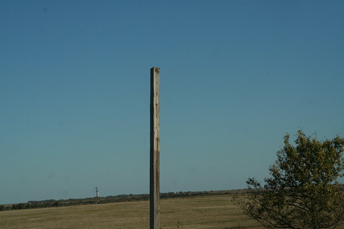
This barren signpost in rural Chautauqua County indicates the former end of K-38. 20 October 2006