
Length: 427.138 miles
West Endpoint:
East Endpoint:
Counties Passed through: Wallace, Logan, Gove, Trego, Ellis, Russell, Lincoln, Ellsworth, Saline, Dickinson, Geary, Riley, Pottawatomie, Wabaunsee, Shawnee, Douglas, Leavenworth, Wyandotte
Full Description
History
Junction Guide
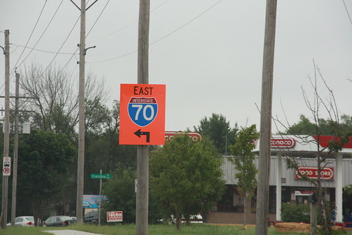
Photos
Clicking on a photograph takes you to the photo's flickr page
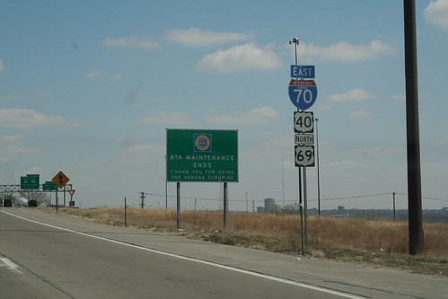
At the 18th Street Expressway in KCK, US 69 joins I-70 and US 40, and the Kansas Turnpike marks its original ending. 25 March 2006
Here is a stretch of US 24/40/73 that is a part of the original 1930s alignment in Wyandotte County. Repavings and wider lanes have turned what was the median into a paved zone bordered by double yellow lines. 25 March 2006
Another original green Kansas Turnpike Sign can be found at the westbound interchange between US 24/40 and K-7 in Wyandotte County. 25 March 2006
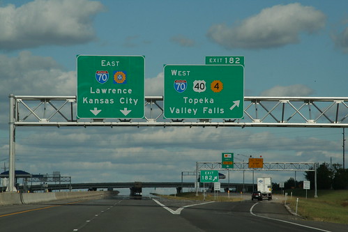
The eastbound sign gantry on the I-470 segment of the Kansas Turnpike carries signs for the East Topeka Exit. 28 September 2006
Highway Tags: I-70 US 40 K-4
These signs have been placed on the approaches to the West Lawrence Interchange on the Kansas Turnpike (I-70) to remind drivers that the interchange is open to eastbound traffic, but directs westbound customers to East Lawrence or Lecompton. This sign was located on eastbound 6th Street (US 40 near the turnoff for the West Lawrence exit at Rockledge Road. 31 July 2008