
South Endpoint:
North Endpoint:
Counties Passed through: Labette, Neosho, Allen, Anderson, Franklin, Douglas, Jefferson, Atchison
History
Average Annual Daily Traffic
Junction Guide
Photos
Clicking on a photograph takes you to the photo's flickr page
Here's where the new US 59 breaks away from the old alignment. There is a shoo-fly detour connecting the new southbound lanes to the old alignment. 12 August 2012
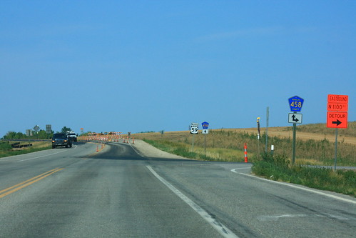
Concrete has been poured and set for the new US 59 interchange with County Road 460 near Pleasant Grove. 12 August 2012
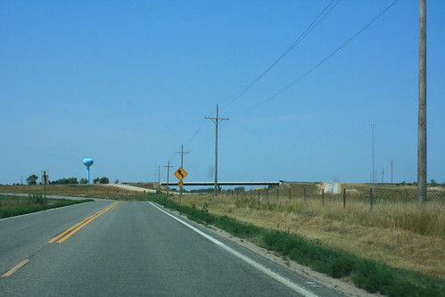
Here's thr transition point between the existing US 59 and the shoofly connection to the new southbond lanes. To the right is the graded off-ramp from southbound US 59 to County Road 458. 12 August 2012
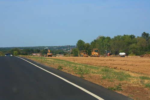
Grading continues on the new Northbound lanes for US 59 south of Lawrence. 12 August 2012
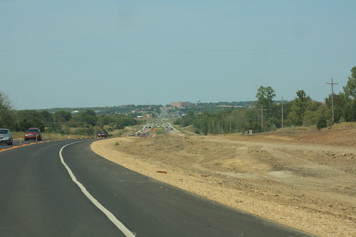
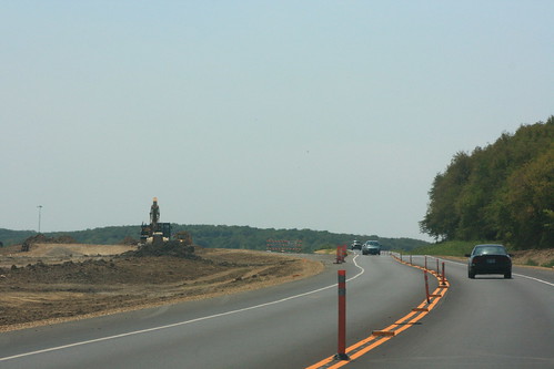
Here's a second shot of the grading of the new northbound lanes of US 59 south of Lawrence. In the distance is the temporary crossover, and the city of Lawrence. 12 August 2012