
South Endpoint:
North Endpoint:
Counties Passed through: Labette, Neosho, Allen, Anderson, Franklin, Douglas, Jefferson, Atchison
History
Average Annual Daily Traffic
Junction Guide
Photos
Clicking on a photograph takes you to the photo's flickr page
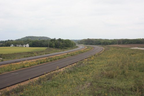
Paving on the northern end of the new US 59 freeway is underway. Because of the geology of the area, the roadway could possibly settle; therefore, KDOT elected to pave the north end with asphalt instead of Portland Cement. 15 September 2012
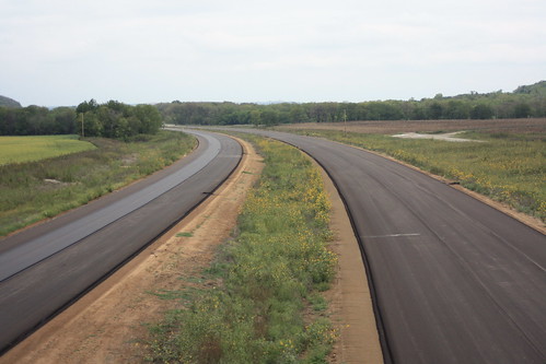
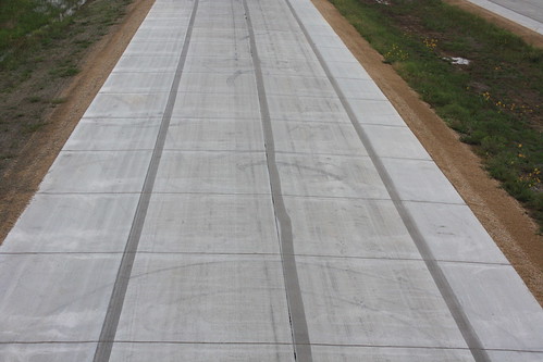
Here's a shot looking north along the new US 59 south of Lawrence. 15 September 2012
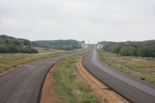
Here's a shot of US 59 looking south. 15 September 2012
Here's a shot looking south along the new US 59 at the interchange with County Road 460. As you can see, some of the signs have been installed along this stretch of the new highway. 15 September 2012
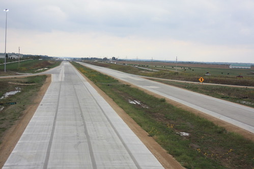
Along the concrete stretches of US 59, sections of the pavement have been grinded to make way for the center line and edge lines. 15 September 2012