
South Endpoint:
North Endpoint:
Counties Passed through: Labette, Neosho, Allen, Anderson, Franklin, Douglas, Jefferson, Atchison
History
Average Annual Daily Traffic
Junction Guide
Photos
Clicking on a photograph takes you to the photo's flickr page
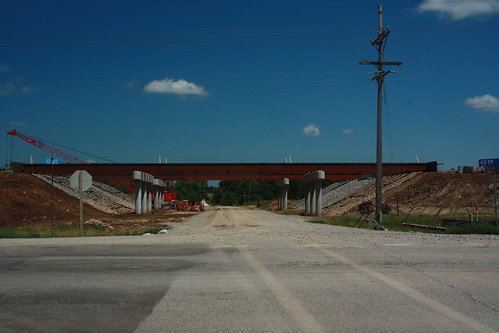
Here we have the new bridge over US 59 at Woodson Road along the Douglas-Franklin County line.
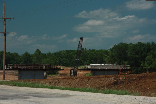
Here we have the piers in progress for the new US 59 bridges over Tauy Creek
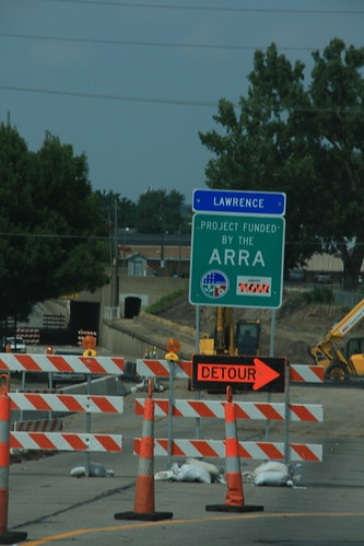
With special financing comes special signage. This sign on North 2nd Street (US 40-59) in Lawrence, just off the Kansas River bridge, advises travelers that your stimulus dollars are at work. 6 August 2009
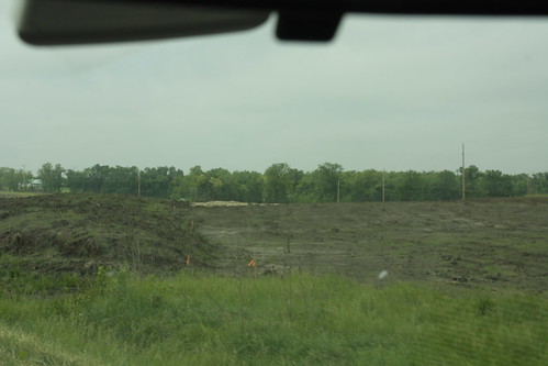
Grading has begun for the re-aligned soon-to-be west frontage road for the new US 59 near Baldwin Junction
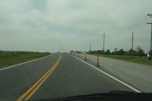
This temporary crossover takes traffic from the old US 59 over to the new freeway just south of the Douglas-Franklin county line.