
South Endpoint:
North Endpoint:
Counties Passed through: Cherokee, Crawford, Bourbon, Linn, Miami, Johnson, Wyandotte
Photos
Clicking on a photograph takes you to the photo's flickr page
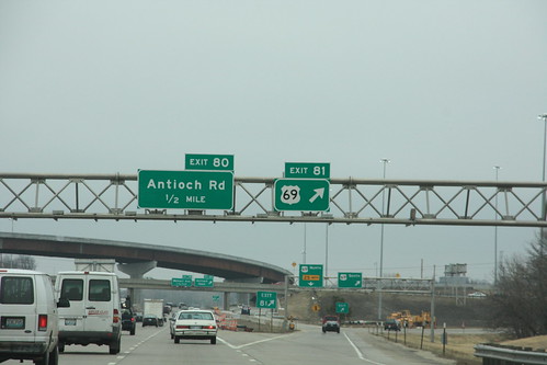
Here's the highway sign for exit 81 on I-435: US 69 10 March 2009
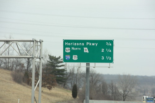
Just before crossing the Missouri River and the State Line on I-635, the next three exits, including Missouri Hwy 9/US 69 and I-29/US 71, are on this sign.10 March 2009
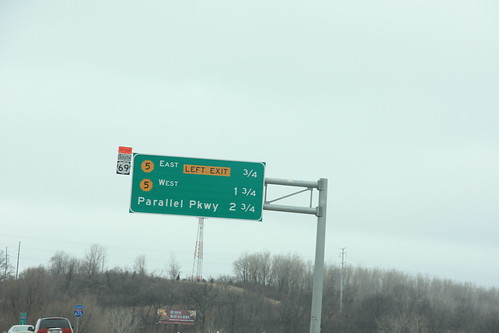
This guide sign just north of the Missouri River on southbound I-635 features exits for K-5 and Parallel Parkway in KCK. The detour sign for US 69 is posted because the Fairfax Bridge was closed at the time. 10 March 2009
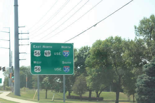
On westbound 87th Street on approach to I-35 and US 69, this guide sign advises drivers looking for US 56 or Northbound US 69 to follow I-35... reference markers for US 56 will not be signed at the interchange. 14 July 2012
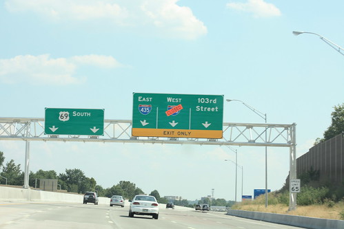
The newly improved US 69 between 95th and 103rd has *five* lanes southbound. Two are designated for thru traffic, while the other three are guides for the 103rd Street and I-435 interchanges. 14 July 2012