
South Endpoint:
North Endpoint:
Counties Passed through: Cherokee, Crawford, Bourbon, Linn, Miami, Johnson, Wyandotte
Photos
Clicking on a photograph takes you to the photo's flickr page
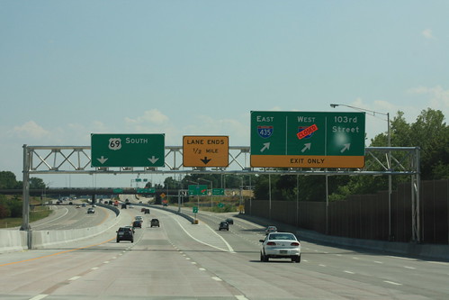
The exit from US 69 to I-435 and 103rd Stret technically has an "option lane"; however, as this assembly notes, the middle lane hasn't been extended past 435; therefore, traffic has the option of exiting or merging into the next lane to the left. 14 July 2012
At the time this picture was taken, the ramp from southbound US 69 to Westbound I-435 was closed for reconstruction. 14 July 2012
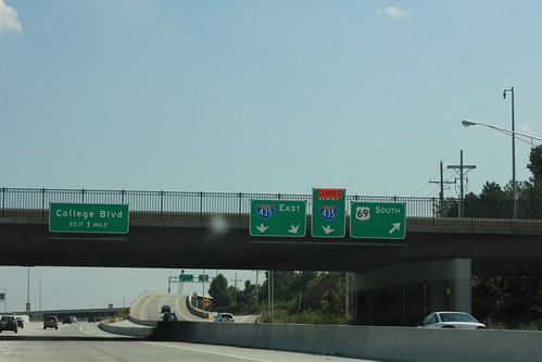
13 Months later, at the same assembly, different ramps are closed. www.flickr.com/photos/richiekennedy56/9584454017/
The ramps from Southbound US 69 to College Boulevard have been reconfigured. Now, all traffic from SB 69 to College is following the ramp that formerly served only eastbound traffic. The guide signs references westbound college are still up, but all of the lettering has been de-mounted. 14 July 2012
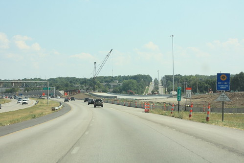
Here's a shot of the new slip ramp that is being built along US 69 between College and 119th Street. 14 July 2012
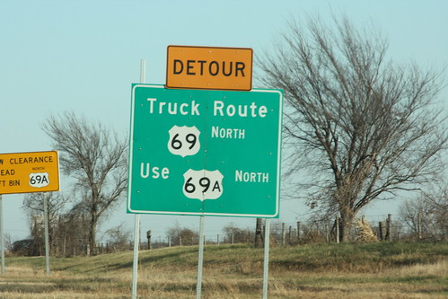
The state of Oklahoma is recommending that most trucks utilize US 69A, rather then US 69, into Kansas. On the other hand, there is a 13 foot, 8 inch "Truck Guillotine," that might make most trucks want to avoid both highways and take US 59 or I-44 instead. 13 December 2012