
West Endpoint:
East Endpoint:
Counties Passed through: Sherman, Thomas, Logan, Gove, Trego, Ellis, Russell, Lincoln, Ellsworth, Saline, Dickinson, Geary, Riley, Wabaunsee, Shawnee, Douglas, Leavenworth, Wyandotte
History
Junction Guide
Photos
Clicking on a photograph takes you to the photo's flickr page
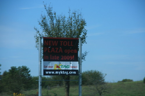
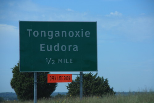
A temporary sign advertises the new I-70 interchange for Tonganoxie/Eudora interchange that is scheduled to open near the end of the year.
The new signs for the I-70/222nd Street exit have been installed. Rather than tarping them, the KTA has decided to place a orange plate reading "Open Late 2009" below the sign.
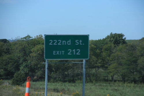
Because the exit description for the I-70 Tonganoxie/Eudora exit is the name of the destinations, the name of the intersecting road, 222nd Street, is on a supplemental sign.
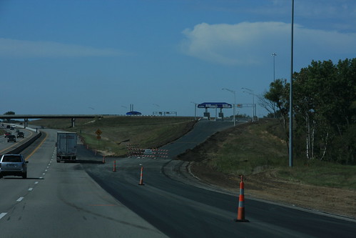
Here's a view of the nearly completed I-70/222nd Street interchange in Leavenworth County.
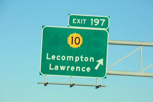
When the Turnpike was widened between Lecompton and East Topeka, a the ground-mounted exit sign for K-10 had to be replaced with one mouted overhead. The new mounting uses a 20-petal shield instead of the standard 16. 31 October 2009