
West Endpoint:
East Endpoint:
Counties Passed through: Sherman, Thomas, Logan, Gove, Trego, Ellis, Russell, Lincoln, Ellsworth, Saline, Dickinson, Geary, Riley, Wabaunsee, Shawnee, Douglas, Leavenworth, Wyandotte
History
Junction Guide
Photos
Clicking on a photograph takes you to the photo's flickr page
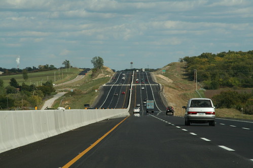
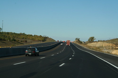
Here's a view of a completed section of the new six-lane I-70/Kansas Turnpike.. 28 September 2006
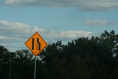
The new version of the "lane ends" sign indicates the end of the new six-lane I-70/Kansas Turnpike. 28 September 2006
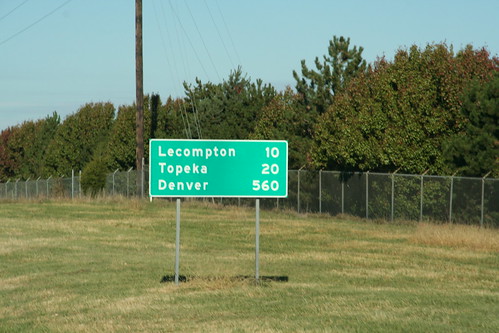
Just west of the West Lawrence interchange on the Kansas Turnpike stands this mileage sign to Lecompton, Topeka, and Denver. (!) 20 October 2006
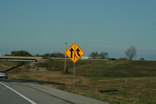
At the Lecompton interchange now stands an "added lane" sign as K-10 traffic blends in and I-70 becomes six lanes from here to Topeka. 20 October 2006
Here's a shot of the new six lane section of the Kansas Turnpike west of Lecompton. 20 October 2006