
South Endpoint:
Unknown (presumbably US 69) in Downtown Kansas City (1935-1982)
Junction US 24-40, Bonner Springs (1982-1988)
I-435 exit 13, Kansas City (1988-2009)
I-70 exit 224 in Bonner Springs (2009-)
North Endpoint:
Counties Passed through: Wyandotte, Leavenworth, Atchison, Brown
Photos
Clicking on a photograph takes you to the photo's flickr page
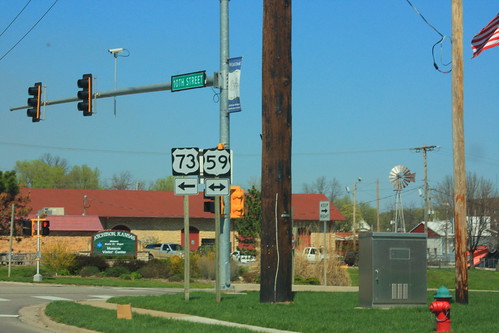
The former Santa Fe depot in Atchison is the location of the east junction of US 73 with US 59. Note that there is no reference to K-7 at the intersection... the K-7 marker was posted ahead of the intersection, and there is a reassurance marker just past the intersection
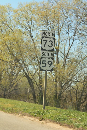
Here's an updated shot of the "wrong-way" multiplex of US 59 and US 73 in Atchison. Note that on this segment, US 73 is posted on top. Traffic viewing this reassurance marker is moving west-southwest.
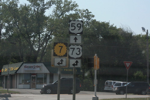
Heading south (or, more accurately, west) on US 59 at the K-7/US 73 junction, the guide markers at this intersection infer that K-7 traffic should turn onto southbound US 59. The official route for K-7, however, is for K-7 to continue north, then turn left at Main Street. 27 June 2012
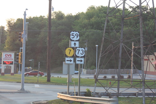
Here's the west approach to the intersection of US 59 and 10th Street in Atchison. Technically, K-7 continues north on 10th, and should carry a double arrow, not a right arrow. 2 July 2012
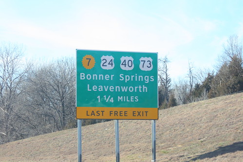
One of the approach signs for the I-70/Kansas Turnpike Bonner Springs exit got damaged and had to be replaced. The replacement sign uses the Clearview typeface, and the K-7 shield is the 20-petal variant generally used only by the KTA. 22 December 2012