
Length: 36.611 miles
West Endpoint:
Junction US 40, 6th and Iowa Street, Lawrence (1956-1996)
I-70/Kansas Turnpike Exit 197 northwest of Lawrence (1996-)
East Endpoint:
I-435 exit 1B (de facto)/I-35 exit 222 (de jure) in Lenexa (1984-)
Counties Passed through: Dickinson, Morris, Wabaunsee, Shawnee, Jefferson, Douglas, Johnson, Wyandotte
Full Description
History
Average Annual Daily Traffic
Junction Guide
Photos
Clicking on a photograph takes you to the photo's flickr page
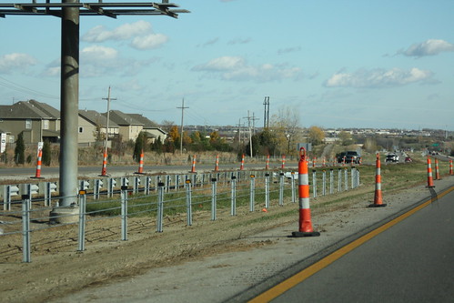
The Johnson County cable median section on K-10 ends about a mile east of the K-7 interchange, before the next exit at Woodland Road. 6 November 2012
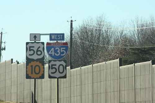
Well, it is the way the sign plans said it should be. This sign arrangment is on 435 between Quivera and I-35. US 56 follows I-35, K-10 begins just west of the interchange, and US 50 moves from I-435 to I-35.11 February 2013
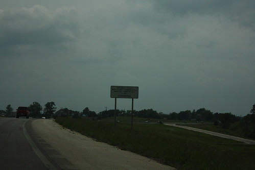
For some reason, interstate-style freeway prohibition restrictions are posted on K-10 from Evening Star Road in Johnson County to Noria Road in Douglas County, but not on the freeway east of Evening Star Road. At Evening Star Road, Freeway prohibition signage is posted along the main line. 26 May 2013
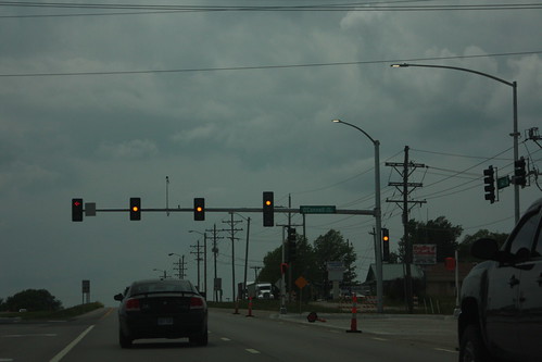
A new traffic signal has been installed on 23rd Street/K-10 at O'Connell Road on the east side of Lawrence. There's a couple of new features on this signal that are new to Lawrence. First, the left-turn signal has a red arrow instead of a circular red indication. Also, there is a overhead signal face for the right turn lane (which also has a protected turn phase) 26 May 2013
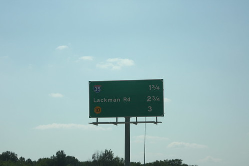
With the new ramp from westbound I-435 to Quivira located just west of the US 69 junction, this westbound distance sign has been changed. The next three exits are I-35, Lackman, and K-10. 10 August 2013