
Length: 36.611 miles
West Endpoint:
Junction US 40, 6th and Iowa Street, Lawrence (1956-1996)
I-70/Kansas Turnpike Exit 197 northwest of Lawrence (1996-)
East Endpoint:
I-435 exit 1B (de facto)/I-35 exit 222 (de jure) in Lenexa (1984-)
Counties Passed through: Dickinson, Morris, Wabaunsee, Shawnee, Jefferson, Douglas, Johnson, Wyandotte
Full Description
History
Average Annual Daily Traffic
Junction Guide
Photos
Clicking on a photograph takes you to the photo's flickr page
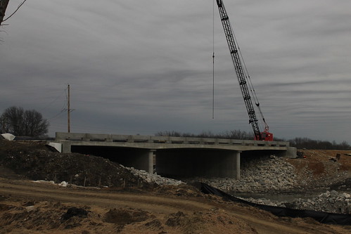
This bridge will take 31st Street across Naismith Creek. It is being constructed as part of the South Lawrence Trafficway. (K-10) 15 February 2015
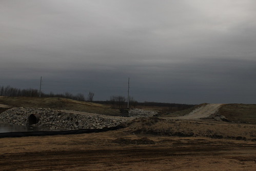
A temporary causeway has been built across Naismith Creek to facilitate construction of the South Lawrence Trafficway (K-10) Behind it is the abutment for the Trafficway. Work has not yet started on the Naismith Creek bridges. 15 February 2015
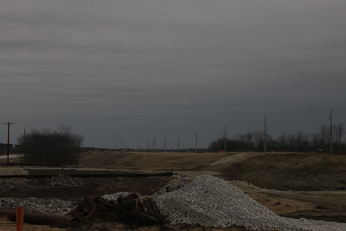
This view looks east along the South Lawrence Trafficway (K-10) from the west end of the Baker Wetlands segment. In the foreground is a temporary causeway across Naismith Creek. 15 February 2015
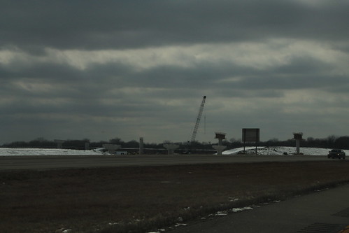
From the existing K-10 heading west into Lawrence, construction of new piers that tie the existing K-10/23rd Street with the South Lawrence Trafficway. 1 March 2015