
South Endpoint:
North Endpoint:
Counties Passed through: Cowley, Sumner, Sedgwick, Harvey, Marion, Dickinson, Clay, Washington
Full Description
Photos
Clicking on a photograph takes you to the photo's flickr page
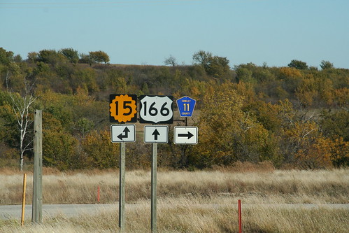
The west Junction of K-15 and US 166 in Cowley County. Note that the Cowley CR 11 sign appears to have been added as an afterthought. 20 October 2006
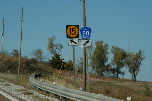
The west junction of K-15 with Cowley County Road 28 is a "crow's foot" junction. Cowley CR 28 was formerly K-38, and as such, the K-38 shields were replaced with county shields at this junction. 20 October 2006
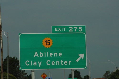
The guide sign for the K-15 exit on I-70 in Abilene generally is a good design, but what's up with the typeface on that K-15 shield. 20 July 2013
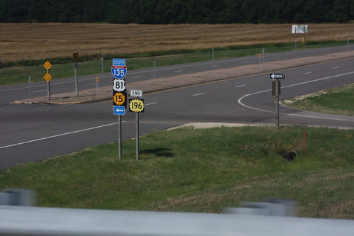
The west end on K-196 at I-135/US 81/K-15 in southern Harvey County. 20 July 2013
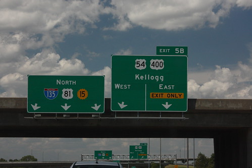
The advance guide sign for the interchange between I-135 and Kellogg (US 54-400) is a two-lane exit with an optional lane. On the reassurance assembly, US 81 and K-15 are both posted. On the exit guide sign, Kellogg Avenue is posted as 'Just Plain Kellogg.' 20 July 2013