
South Endpoint:
North Endpoint:
Counties Passed through: Johnson, Wyandotte
Junction Guide
Photos
Clicking on a photograph takes you to the photo's flickr page

The South end of US 73 along US 24/40 at I-435 in Kansas City Kansas. 14 April 2001
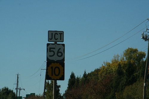
On the westbound approach of I-435 to I-35, there is a junction sign for US 56 (which is a rider to I-35) and K-10 (which begins a mile ahead) 13 October 2006
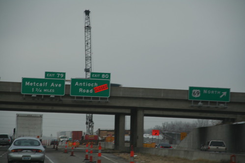
The new overhead signs on I-435 at the US 69 interchange indicate two things: that the off-ramp from eastbound 435 to Antioch is immediately after the off-ramp for US 69, and that the last reference to US 169 on the guide signs for the Metcalf interchange has been removed.
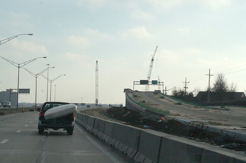
Here's a shot of the new ramp from southbound US 69 to I-435. It ramps upward towards a flyover. Note the sign for westbound 435 is exposed. 12 January 2008
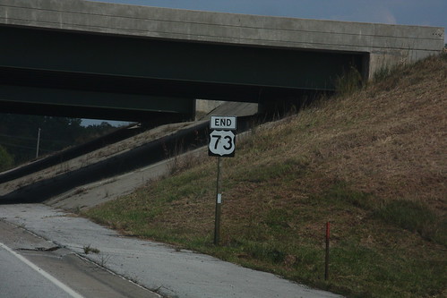
This "END 73" sign on State Avenue at I-435 in Kansas City has been photographed before.... 20 September 2008