
South Endpoint:
North Endpoint:
Counties Passed through: Johnson, Wyandotte
Junction Guide
Photos
Clicking on a photograph takes you to the photo's flickr page
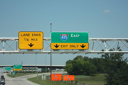
On US 69, there's a two lane drop for the I-435 exit... and right after that, the third lane simply ends. Once again, an odd fraction (1/8 mile) graces a sign. 10 August 2013
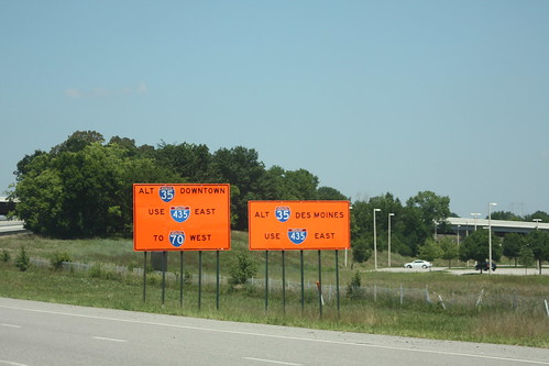
Because of construction on I-35 just past the state line, travelers along the major highways leading into I-35 are shown these orange signs encouraging travelers to go around Kansas City on I-435 instead. This set is on US 69 at the 435 junction. 10 August 2013
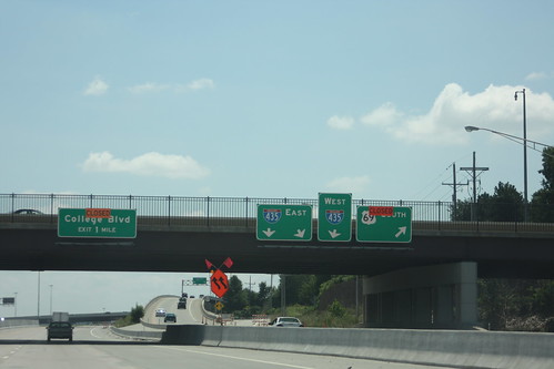
Because of the building of the new ramp from southbound US 69 to College Boulevard, the ramp from 103rd Street to Southbound US 69 is closed along with the ramp from US 69 to College. The Ramp from US 69 to I-435 remains open. 10 August 2013
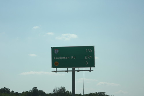
With the new ramp from westbound I-435 to Quivira located just west of the US 69 junction, this westbound distance sign has been changed. The next three exits are I-35, Lackman, and K-10. 10 August 2013
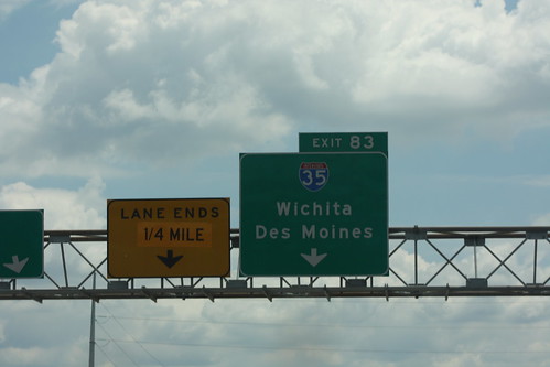
First of Two: as part of current construction of the Johnson County Gateway project, the right lane on eastbound I-435 has been closed about a quarter of a mile before it normally drops off at the I-35 interchange. The "Lane Ends" sign has been overlaid, with "1/4 mile" replacing "1/2 mile." The contractor who applied the overlay did a sloppy job. 25 June 2014