
West Endpoint:
East Endpoint:
Counties Passed through: Morton, Stevens, Haskell, Gray, Ford, Edwards, Pawnee, Barton, Rice, McPherson, Marion, Dickinson, Morris, Lyon, Osage, Douglas, Johnson
History
Average Annual Daily Traffic
Junction Guide
Photos
Clicking on a photograph takes you to the photo's flickr page
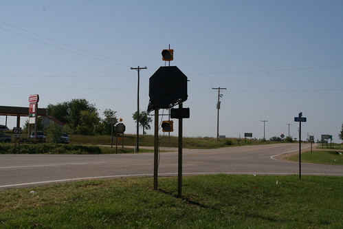
A tarp covers the Stop Signs at Baldwin Junction along US 59. KDOT put up the new signs, but it would be a couple more days before the intersection of 59 and US 56 became a four-way stop. 6 August 2006
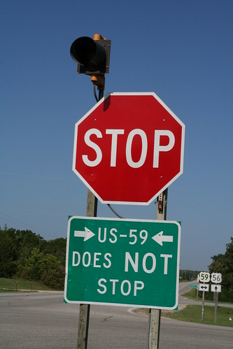
The standard for "CTDNS"-type signs is warning grade black on yellow. The first version of the sign US 56 traffic at US 59 that the cross road has the right of way was regulatory black on white, version 2 is guide-standard white on green. The sign was pulled when they made Baldwin Junction a 4-way stop. 6 August 2006
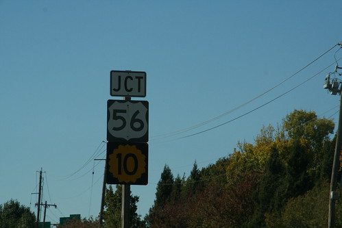
On the westbound approach of I-435 to I-35, there is a junction sign for US 56 (which is a rider to I-35) and K-10 (which begins a mile ahead) 13 October 2006
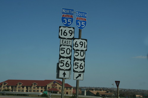
For several months, this US 169 sign at the interchange between I-35 and 119th Street has been hanging upside down. 15 April 2007
Highway Tags: US 50 US 56
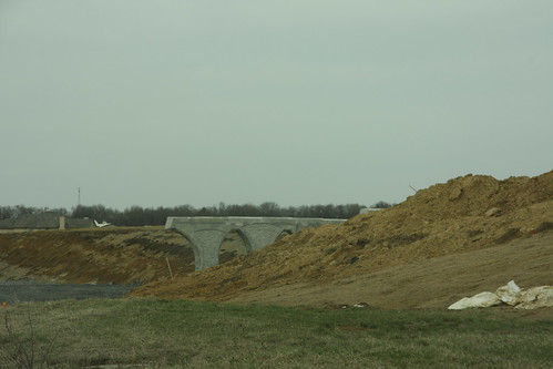
The Bridge Piers are in place for the US 59 bridge over US 56 at Baldwin Junction