
West Endpoint:
East Endpoint:
Counties Passed through: Morton, Stevens, Haskell, Gray, Ford, Edwards, Pawnee, Barton, Rice, McPherson, Marion, Dickinson, Morris, Lyon, Osage, Douglas, Johnson
History
Average Annual Daily Traffic
Junction Guide
Photos
Clicking on a photograph takes you to the photo's flickr page
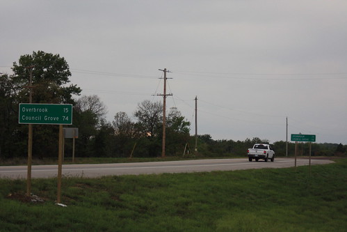
Here are two guide markers indicating the distance to Overbrook and Council Grove on US 56 at the new US 59 interchange. The newer sign is the one in the foreground. It features mixed-case, as well as a little more vertical spacing 15 September 2012
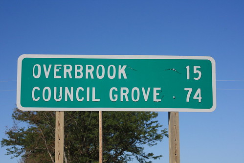
This is the old distance sign on westbound US 56 at the US 59 junction. It was installed in September of 2001, and apparently, the letters are starting to peel. 18 September 2012
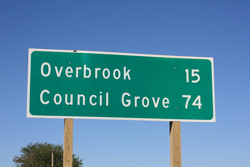
Here's a closeup of the newer distance sign on westbound US 56, installed on September 7, 2012. The new sign uses prismatic sheeting, the text is screened and uses mixed case, and there is additional vertical spacing compared to the old sign. 18 September 2012
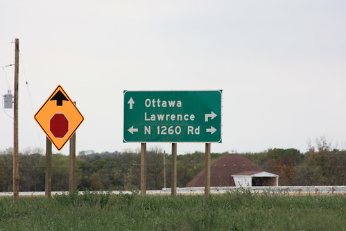
This new sign was installed in advance of junction with US 59 on US 56. In addition to the standard guide city pull-downs, it also guides drivers to the frontage road on the east side of the freeway. The name of the roadway, however, is E 1260 Road, not N 1260 Road. It's a goof on the plans. 4 October 2012
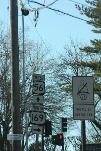
At the junction of Rainbow Blvd with the Shawnee Mission Parkway, Westbound US 56 heads west on the SMP, and Northbound US 169 heads north on Rainbow. Left unmentioned is the direction Southbound 169 takes (it follows westbound US 56/SMP to I-35). This oversight has been at this location since 1999, though the signs have changed position a little. 11 February 2013