
South Endpoint:
North Endpoint:
Counties Passed through: Labette, Neosho, Allen, Anderson, Franklin, Douglas, Jefferson, Atchison
History
Average Annual Daily Traffic
Junction Guide
Photos
Clicking on a photograph takes you to the photo's flickr page
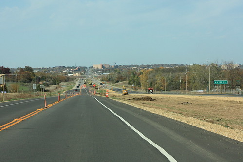
Here's a shot of the finishing touches being laid down on the new US 59 near N 1000 Road south of Lawrence. 16 October 2012
Here's looking south onto the new US 59 from N 900 Road. This grade cut turned out to have some unstable geology, which is why this section of 59 was delayed slightly. It's also the reason why the roadway is asphalt instead of Portland Cement. 16 October 2012
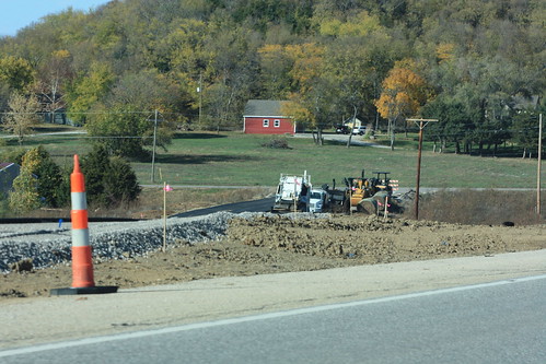
Work remains underway on finishing up the realignment of Old US 59 at the north end. There is asphalt pavement near the junction with N 1000 Road, however, the segment near the existing roadway remains a gravel sub-grade. 16 October 2012
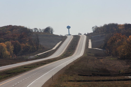
Here's a shot of US 59 near the north end of the project. The new pavement ends just north of N 1100 Road, and continues as Iowa Street in Lawrence. 16 October 2012
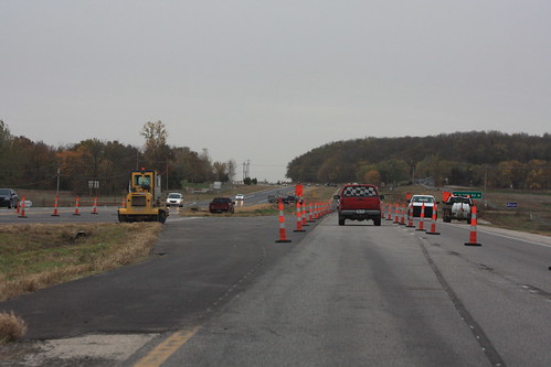
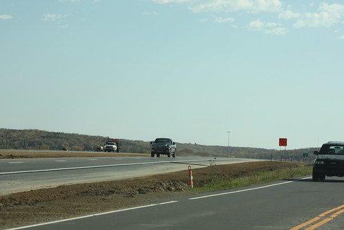
The new US 59 is open, but there's still construction work to be done. The temporary crossover has been coned off, and the pavement markings for head to head traffic have been eradicated. 18 October 2012