
Original Kansas Highway
Length: 243.57 miles
South Endpoint:
North Endpoint:
Counties Passed through: Cherokee, Crawford, Bourbon, Linn, Miami, Johnson, Wyandotte, Leavenworth, Atchison, Doniphan
Full Description
History
Average Annual Daily Traffic
Junction Guide
Length: 243.57 miles
South Endpoint:
Oklahoma State Line, north of Picher, Oklahoma (concurrent with US 69)
North Endpoint:
Nebraska State Line north of White Cloud
Counties Passed through: Cherokee, Crawford, Bourbon, Linn, Miami, Johnson, Wyandotte, Leavenworth, Atchison, Doniphan
Full Description
History
Average Annual Daily Traffic
Junction Guide
Photos
Clicking on a photograph takes you to the photo's flickr page
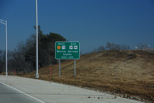
14 February 2009
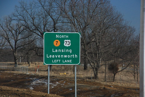
14 February 2009
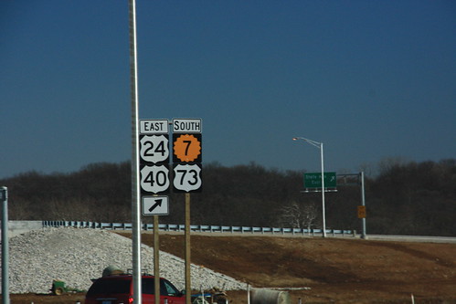
14 February 2009
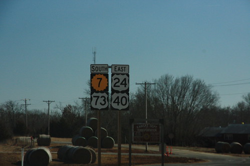
14 February 2009
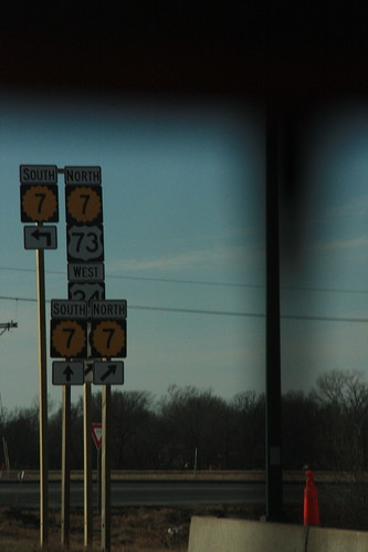
At the ramp from I-70 onto K-7, the replacement markers are posted on much taller poles so that the addition of US 24, US 40, and US 73 are properly included. 14 February 2009