
Length: 243.57 miles
South Endpoint:
North Endpoint:
Counties Passed through: Cherokee, Crawford, Bourbon, Linn, Miami, Johnson, Wyandotte, Leavenworth, Atchison, Doniphan
Full Description
History
Average Annual Daily Traffic
Junction Guide
Photos
Clicking on a photograph takes you to the photo's flickr page
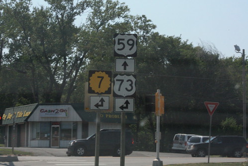
At the corner of 17th and Main, K-7 officially turns east, however,
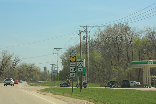
for northbound US 73 or Southbound
US 59, traffic is encouraged to turn west.

After a sudden shower, a rainbow appeared over K-7/US 24/US 40/US 73 near Bonner Springs.
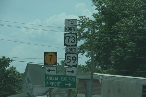
The West Junction of US 59 with US 73 also includes a suggested connection with Northbound K-7 via city streets.
Heading south (or, more accurately, west) on US 59 at the K-7/US 73 junction, the guide markers at this intersection infer that K-7 traffic should turn onto southbound US 59. The official route for K-7, however, is for K-7 to continue north, then turn left at Main Street. 27 June 2012
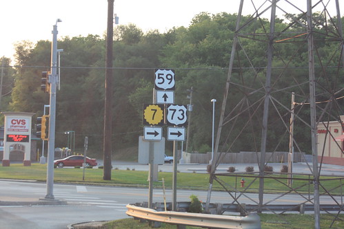
Here's the west approach to the intersection of US 59 and 10th Street in Atchison. Technically, K-7 continues north on 10th, and should carry a double arrow, not a right arrow. 2 July 2012