Length: 95.738 miles
South Endpoint:
North Endpoint:
Counties Passed through: Sedgwick, Harvey, McPherson, Saline
Junction Guide
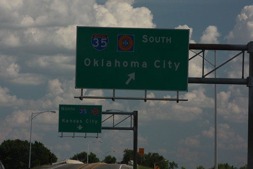
Photos
Clicking on a photograph takes you to the photo's flickr page
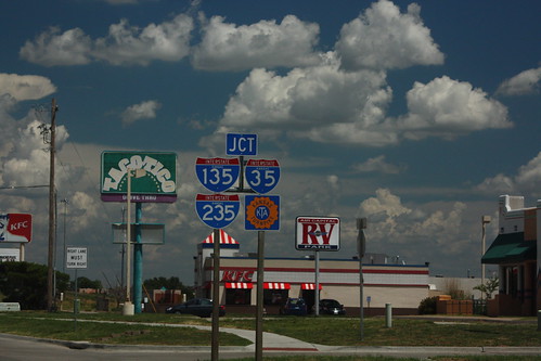
A bit of "sine salad" reflecting all three of Wichita's interstates, plus the Turnpike. This is on 47th Street approaching I-135. I-235 begins just north of this interchange, and the South Wichita exit on the Kansas Turnpike is south of this interchange. 20 July 2013
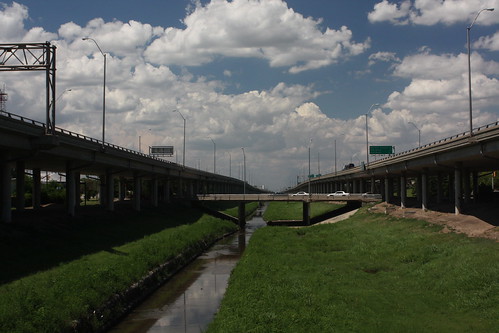
Looking north from ground level at the I-135 Canal Route. 20 July 2013
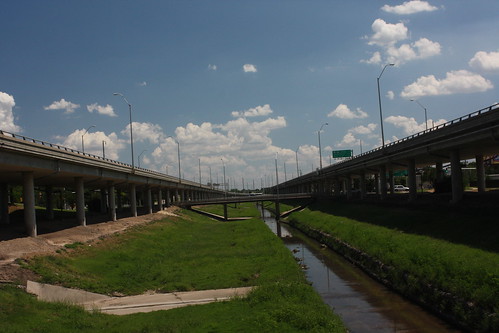
Looking south from ground level at the I-135 Canal Route. 20 July 2013
The South end of I-235 at I-135 in Wichita. Note that the US 81 markers are posted at ground level on the gantry posts. 20 July 2012
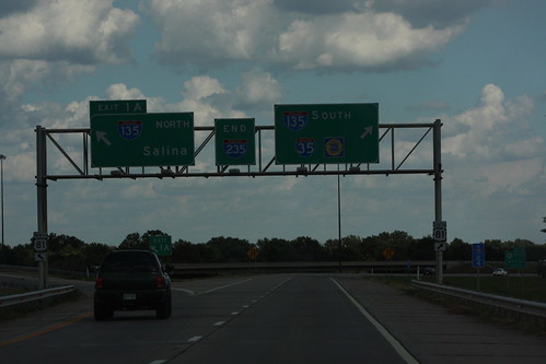
At tollbooth at the end of I-135 in South Wichita, the reference markers guiding traffic onto the Turnpike are of the large, overhead type, as opposed to the smaller, ground-mounted type at most Turnpike interchanges. 20 July 2013