
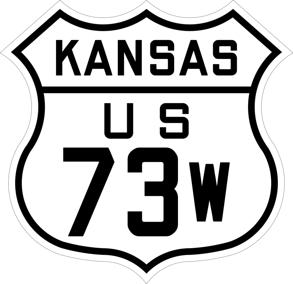
South Endpoint:
Junction US 73E/US 73 at Oswego
North Endpoint:
Junction US 73E/73 at Horton
Historical Counties Served:
Labette, Neosho, Allen, Anderson, Franklin, Douglas, Jefferson, Atchison, Brown
Timeline
- 1921:
- Humboldt-Chanute road graveled from the Neosho/Allen County line to 2 miles south of Humboldt
- Graveled from Iola to the Allen/Anderson county line.
- Main Street in Ottawa brick paved from 13th Street to 7th Street.
- Parallel White Way paved in Effingham.
- 1922:
- King of Trails graveled from Erie to Shaw
- King of Trails graveled from the Allen/Anderson County line to 1 mile east of Welda.
- King of Trails graveled from Garnett to the Anderson/Franklin county line.
- Williamstown-Nortonville Road paved from Williamstown to Oskaloosa.
- 1923:
- 32nd Street Road graveled from Altamont to Parsons.
- King of Trails paved from Humbolt to Iola
- Parallel White Way paved from Monrovia to 1.7 miles north of Effingham.
- 1925:
- Ozark Trail graveled from Oswego to Altamont.
- King of Trails paved from 2 miles south of Humbolt to Humbolt.
- Williamstown-Nortonville Road paved from Oskaloosa to Nortonville.
- 1926: Horton-Whiting road graded from just south of the Atchison/Brown county line to the south city limits of Horton, including a railroad overpass.
- 1927:
- New railroad overpass south of Bassett.
- King of Trails graded from the Anderson/Franklin county line to 3 miles north of Princeton
- Ottawa-Lawrence Road graded from Ottawa to the Franklin/Douglas county line.
- US 73W/K-10 paved from Lawrence to Williamstown.
- Monrovia Road graveled from 1.7 miles north of Effingham to Muscotah and paved in Muscotah
- 1928:
- Graveled from the Labette/Neosho county line to 2.9 miles south of Erie.
- Paved from Chanute to Allens Lake.
- Railroad underpass built at Colony.
- Paved from the Anderson/Franklin county line to Ottawa and from Ottawa to the Franklin/Douglas county line.
- Graded from the Franklin/Douglas County line north 5.5 miles.
- New alignment graded near Pleasant Grove.
- 1929:
- Paved from the Franklin/Douglas County line north and east to K-10 at 23rd and Massachusetts Streets in Lawrence.
- Graveled from 1.7 miles north of Effingham to Muscotah.
- 1930:
- Graded from Nortonville to Monrovia.
- Graded from Muscotah to the Atchison/Brown County line.
- 1931:
- Medium blacktopped from the Labette/Neosho County line to K-16 near Earlton, including a new alignment from 2.9 miles south of Erie to Erie.
- New Gravel alignment and bridge over Neosho River from Allen Lake to 1 mile north of the Neosho/Allen county line.
- Paved from 1 mile north of Iola to Carlyle.
- Graveled from Muscotah to the Atchison/Brown County line.
- 1932:
- Medium blacktopped from Oswego to Altamont
- Medium blacktopped from Parsons to the Labette/Neosho county line
- Medium blacktopped and near the Neosho/Allen county line.
- Heavy Blacktopped from the Allen/Anderson County line to 1 mile east of Welda.
- Medium blacktopped from 3 miles north of Garnett north 1.5 miles
- 1933:
- Graded from K-16 north to Chanute.
- Heavy blacktopped from Carlyle to the Allen/Anderson County line Heavy blacktopped from Garnett north 3 miles
- Heavy blacktopped from 4.5 miles north of Garnett to the Anderson/Franklin county line
- 1934:
- Santa Fe Street in Chanute paved from 17th Street to 7th Street.
- Maple Street in Garnett paved from 6th Street to the north city limits.
- Massachusetts Street in Lawrence paved from 20th Street to 11th Street.
- 1935:
- Paved from K-16 to Chanute
- Paved near the Neosho/Allen county line.
- Maple Street in Garnett widened to 4 lanes from 6th Street to the north city limits.
- Main Street in Ottawa widened from 16 to 37 feet.
- 1936: US 73W re-designated US 59 between Oswego and Nortonville, and re-designated US 159 between Nortonville and Horton.