
West Endpoint:
East Endpoint:
Counties Passed through: Sherman, Thomas, Sheridan, Graham, Rooks, Osborne, Mitchell, Cloud, Clay, Riley, Pottawatomie, Shawnee, Jefferson, Douglas, Levenworth, Wyandotte
History
Photos
Clicking on a photograph takes you to the photo's flickr page

The South end of US 73 along US 24/40 at I-435 in Kansas City Kansas. 14 April 2001
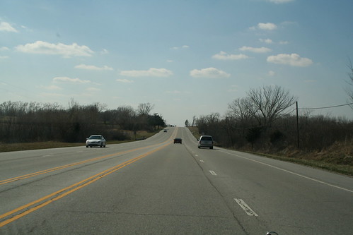
Here is a stretch of US 24/40/73 that is a part of the original 1930s alignment in Wyandotte County. Repavings and wider lanes have turned what was the median into a paved zone bordered by double yellow lines. 25 March 2006
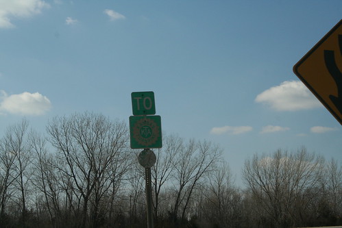
Another original green Kansas Turnpike Sign can be found at the westbound interchange between US 24/40 and K-7 in Wyandotte County. 25 March 2006
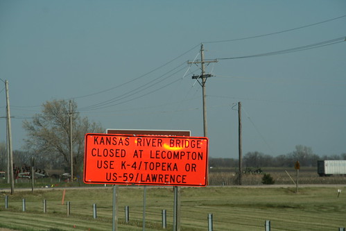
The Kansas River bridge at Lecompton has been closed for redecking starting in March. During that time, big orange signs on US 24 directs people that need to cross the bridge to either the Kansas River Bridge in Lawrence on US 59 (and US 40) or the Oakland Expressway (K-4) in Topeka. The Kansas Turnpike is also an option. 20 April 2007
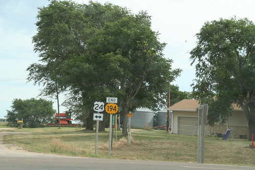
The north end of K-194 at US 24 north of Simpson. 9 July 2007