

Although “Outdoor recreational activity” was allowed here in Kansas under the state’s “Stay at Home” order, I didn’t really feel a reason to get out of the house until last Saturday, when I headed out to Pomona to check out an old spot that has changed quite a bit since the last time I was there.
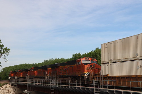
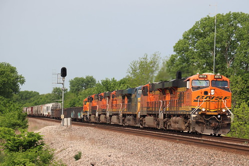
Recently, BNSF replaced the truss bridges over the Marais des Cynges River between Pomona and Quenemo. The eastern bridge at MP 69 is right next to the Arkansas Terrace crossing.


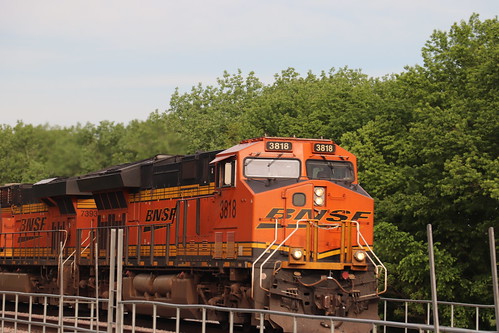


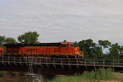
After this train departed, I got my mask out and headed to the Casey’s in Pomona for a breakfast crossiont. Once I picked up breakfast, I decided to head toward a crossing a mile west of the bridge. There’s a trestle just east of this crossing, but access to it was a bit to muddy for my taste.
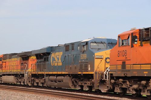


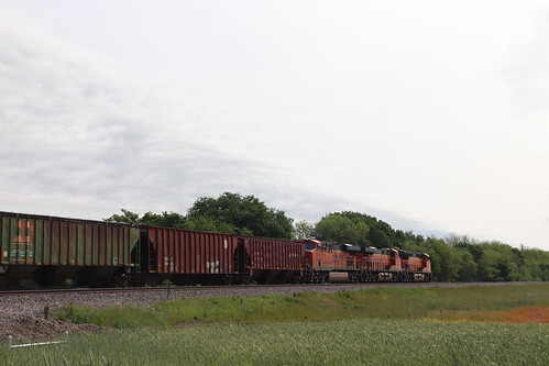
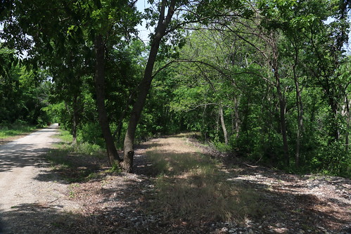
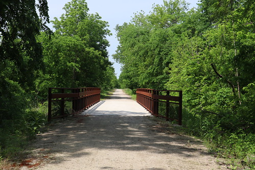
After this train departed, and this week’s broadcast of “Wait Wait Don’t Tell Me” concluded, I decided to take a little walk. I went up the road to where K-68 crosses the former Missouri Pacific, now known as the Flint Hills Nature Trail, just north of Quenemo. Specifically, I was looking for where this line met the line up to Overbrook and Topeka at a junction that the railroad called Lomax. The line to Topeka is also railbanked, but it’s mainly developed in the Topeka area and around Overbrook.


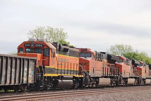
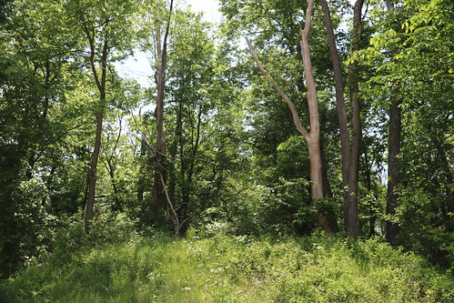
After returning to my car, I decided to visit another site of a former rail line: The former Santa Fe Lawrence to Ottawa line across US 56 on the North end of Baldwin City. The end-of-track for the Midland Railway is located to the south of the crossing, but plans were recently leaked onto Facebook for the railway (or, more specifically, it’s Class III operating subsidiary, the Baldwin City and Southern), to create a new transload platform, public amphitheater, and RV park on the north side of 56. They apparently are planning on applying to the FRA for crossing authority to restore the line over US 56. I don’t exactly know how this is going to work.
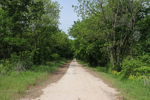
What I do know: This crossing was originally a bridge over the roadway, built along with the predesessor to US 56 in the 1920s. The bridge itself was not removed until the early 1990s, long after the Santa Fe had abandoned the line north of Baldwin, and a few years after the Midland started running excursion trains. KDOT and Baldwin have also construted a pedestrian trail to service the Baldwin Elementary School intermediate center, which is where the following shots were taken.
Leave a Reply