
West Endpoint:
East Endpoint:
Counties Passed through: Sherman, Thomas, Logan, Gove, Trego, Ellis, Russell, Lincoln, Ellsworth, Saline, Dickinson, Geary, Riley, Wabaunsee, Shawnee, Douglas, Leavenworth, Wyandotte
History
Junction Guide
Photos
Clicking on a photograph takes you to the photo's flickr page
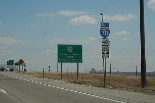
At the 18th Street Expressway in KCK, US 69 joins I-70 and US 40, and the Kansas Turnpike marks its original ending. 25 March 2006
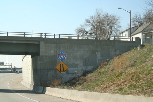
The west end of I-670 at I-70 in Kansas City. 25 March 2006
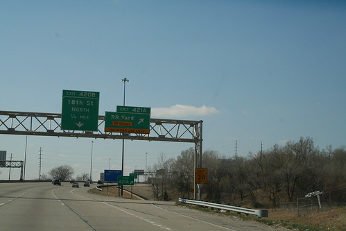
I-70 westbound exit 421A is a employee enterance to the Union Pacific Armstrong Yard in KCK. The fact that it is not intended for the public is highlighted on the exit sign. 25 March 2006
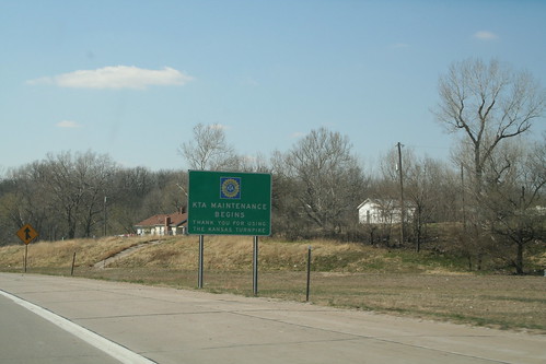
The opposite of the Turnpike End sign is on I-70 westbound at the 18th Street Expressway in KCK. 25 March 2006
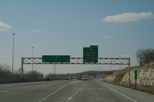
The biggest change that occurred with the reconstruction of the interchange between I-70 and I-635 in KCK is the fact that the there is a long collector ramp from westbound I-70 to 635 that also encompasses the interchange with Park Drive (ex K-32). 25 March 2006