
Length: 36.611 miles
West Endpoint:
Junction US 40, 6th and Iowa Street, Lawrence (1956-1996)
I-70/Kansas Turnpike Exit 197 northwest of Lawrence (1996-)
East Endpoint:
I-435 exit 1B (de facto)/I-35 exit 222 (de jure) in Lenexa (1984-)
Counties Passed through: Dickinson, Morris, Wabaunsee, Shawnee, Jefferson, Douglas, Johnson, Wyandotte
Full Description
History
Average Annual Daily Traffic
Junction Guide
Photos
Clicking on a photograph takes you to the photo's flickr page
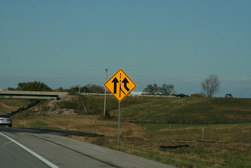
At the Lecompton interchange now stands an "added lane" sign as K-10 traffic blends in and I-70 becomes six lanes from here to Topeka. 20 October 2006
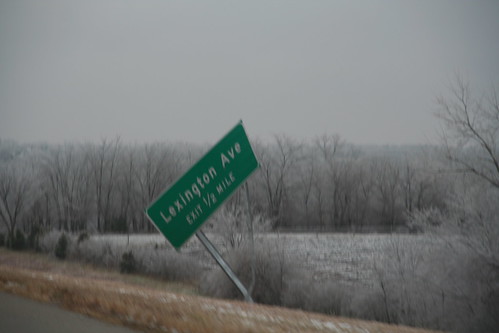
Apparently, someone has slipped on the ice, as it is clear that the sign for Lexington Avenue on eastbound K-10 has been knocked out of place by an errant vehicle. 13 December 2007
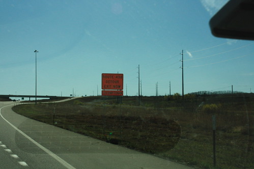
The detour for Douglas County Road 438 involves K-10 and US 40. At the K-10/US 40 interchanges, drivers taking the detour are implored to "Exit Now." 31 October 2009
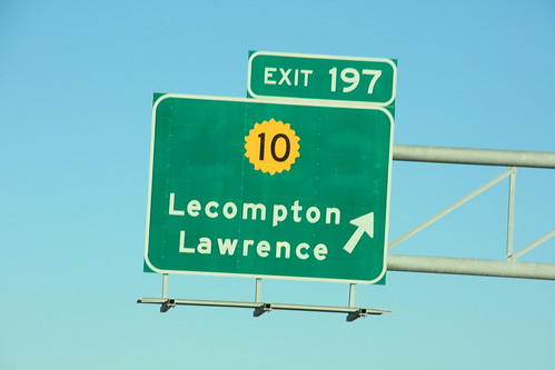
When the Turnpike was widened between Lecompton and East Topeka, a the ground-mounted exit sign for K-10 had to be replaced with one mouted overhead. The new mounting uses a 20-petal shield instead of the standard 16. 31 October 2009
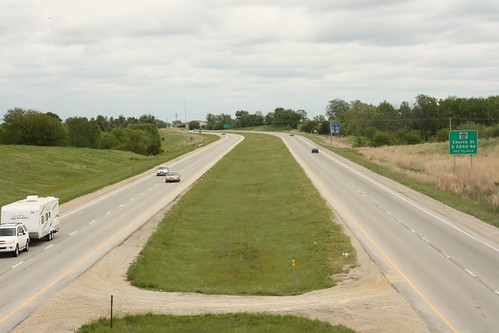
Here's a view from the Winchester road bridge over K-10 looking east. 14 May 2011